
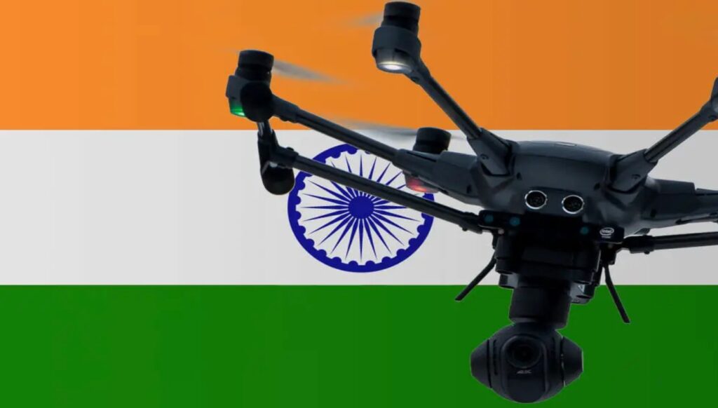
About Drone Shaurya 2026
Drone Shaurya 2025, Global Summit, Expo, and Awards on unmanned systems is a premier event dedicated to showcasing the latest advancements, innovations, and applications in drone technology and unmanned systems. Organized annually, this event serves as a platform for users (Defense, Paramilitary forces & Society), industry leaders, researchers, policymakers, and enthusiasts to come together, exchange ideas, and explore the potential of unmanned systems across various domains.
The summit features a diverse range of sessions, including keynote addresses, panel discussions, technical presentations, workshops, and product demonstrations. These sessions cover a wide array of topics such as drone technology trends, regulatory frameworks, security and defense applications, environmental monitoring, agriculture, infrastructure inspection, emergency response, and more
One of the highlights of the event is the Expo, where leading companies and startups showcase their latest products, services, and solutions in unmanned systems. Attendees have the opportunity to interact with exhibitors, explore cutting-edge technologies, and witness live demonstrations of drones and other unmanned vehicles in action
In addition to the summit and expo, the event also hosts the Drone Shaurya Awards, recognizing outstanding achievements and contributions in the f ield of unmanned systems. Awards are presented in various categories, including innovation, entrepreneurship, academic research, humanitarian efforts, and public service.
The Drone Shaurya Global Summit, Expo, and Awards play a crucial role in fostering collaboration, driving innovation, and promoting the responsible and ethical use of unmanned systems worldwide. By bringing together stakeholders from diverse backgrounds and disciplines, the event aims to advance the development and deployment of drones and other unmanned technologies for the benefit of society and the environment, strengthening the defense of the nation to realize “BRAVE BHARAT, SECURE BHARAT”, forging economic progress and nation building
Exhibitors Profile
Manufacturing
- Drone Platforms:
- Multirotor, fixed-wing, VTOL, and hybrid drones.
- Specialized drones for agriculture, defense, logistics, etc.
- Subsystems and Components:
- Airframes (carbon fiber, composites).
- Propulsion systems (motors, engines, propellers).
- Power systems (batteries, fuel cells).
- Sensors and Payloads:
- LiDAR, sonar, thermal cameras, multispectral sensors.
- Robotic arms, sprayers, and payload integration.
Services
- Drone-as-a-Service (DaaS):
- Surveying, mapping, agricultural spraying, and aerial delivery.
- Maintenance and Repair:
- Scheduled and on-demand servicing of drones.
- Training and Certification:
- Training programs for pilots and operators.
- Certification for compliance with aviation regulations.
- Data Analytics Services:
- Processing and analyzing drone-collected data (e.g., 3D modeling, GIS mapping).
Solutions

- End-to-End Industry Solutions:
- Surveillance and security systems for defense.
- Precision agriculture for crop monitoring and spraying.
- Infrastructure inspection for powerlines, bridges, and pipelines.
- AI and Data-Driven Solutions:
- Autonomous drones with real-time analytics.
- Software platforms for actionable insights.
- Logistics and Delivery:
- Customized drones for last-mile delivery in urban and remote areas.
Accessories

- Payload Accessories:
- Cameras (thermal, hyperspectral, infrared).
- Specialized tools like spraying systems or robotic arms.
- Navigation and Control:
- GPS modules, inertial navigation systems.
- Remote controllers and advanced user interfaces.
- Spare Parts:
- Replacement propellers, motors, landing gear, and batteries.
- Other Add-Ons:
- Gimbal systems for stabilized footage.
- Portable drone charging stations and cases.
Visitors Profile
Climate Monitoring & Environmental Agencies
- Meteorologists: For real-time weather data collection using UAVs.
- Environmental Scientists: Monitoring ecosystems, air quality, and climate change effects.
- Industrial Forestry Managers: Applying drones for forest health and biodiversity assessment.
Border Security Forces
- BSF & Paramilitary Forces: For surveillance, reconnaissance, and border patrolling.
- Strategic Planners: Implementing drone technology for secure borders.
Archaeological Survey Departments
- Surveyors & Researchers: Using drones for mapping and documenting historical sites.
- Cultural Heritage Experts: Monitoring and conserving archaeological locations.
Anti-Terror Forces & Security Agencies
- Special Operations Units: Exploring surveillance and tactical UAV solutions.
- Law Enforcement & Homeland Security: For counter-terrorism and rapid response operations.
- Defense Contractors: Collaborating on anti-terrorism drone applications.
Agriculture
- Farmers & Agronomists: Seeking drones for precision agriculture, spraying, and crop monitoring.
- Agri-Tech Companies: Developing or utilizing drone-based solutions.
- Global Food Security Experts: Using drones for agricultural productivity and sustainability.
- Forestry & Agricultural Scientists: Interested in environmental monitoring and pest control via UAVs.
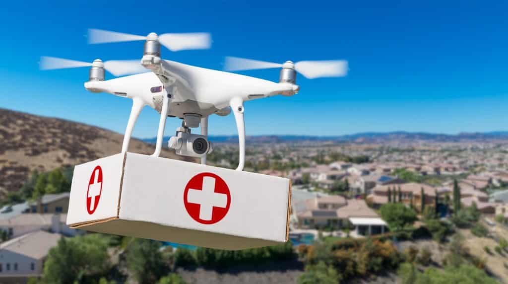
Disaster Response Forces
- National Disaster Response Force (NDRF): Using drones for disaster assessment and relief operations.
- Emergency Planners: Integrating drones into preparedness strategies.
Drone Pilot Academies
- Training Institutes: Showcasing pilot training programs and certification pathways.
- Students & Professionals: Exploring career opportunities in drone operations.
Defense
- Armed Forces Personnel: Exploring combat, surveillance, and logistics UAVs.
- Defense Technology Firms: Showcasing innovations and forming collaborations.
Coastguard
- Maritime Patrol Officers: Using drones for coastal and maritime security.
- Disaster Response Units: For search and rescue at sea.
Construction & Infrastructure
- Surveyors & Architects: Employing drones for construction site mapping and progress tracking.
- Project Managers: For infrastructure inspection and aerial analysis.
Fire Agencies
- Firefighters & Emergency Responders: Using drones for fire monitoring and rescue planning.
Global Food Security
- Policy Experts: Exploring UAVs for sustainable farming practices and food distribution.
Film & Production
- Filmmakers & Producers: For aerial shots and creative video production.
- Advertising Agencies: Leveraging drones for promotional campaigns.
Event and Wedding Planners
- Creative Professionals: Using drones for aerial photography and event coverage.
- Production Agencies: Seeking drones for innovative event experiences.
Energy and Utilities Industry
- Energy Companies: Monitoring solar farms, wind turbines, and power grids using drones.
- Utility Managers: Conducting inspections and predictive maintenance.
OEM Manufacturing
- Manufacturers: Developing UAV components and systems.
- Tech Suppliers: Showcasing accessories and subsystems for drones.
Oil & Gas
- Pipeline Inspectors: Using drones for monitoring and maintenance.
- Offshore Operators: For surveillance and safety compliance.
Newsgathering & Reporting
- Media Professionals: Using drones for live coverage and investigative journalism.
- Broadcast Companies: Integrating UAVs into daily reporting.
Mining & Aggregates
- Geologists & Engineers: For topographical mapping and resource monitoring.
- Mining Companies: Utilizing drones for safety inspections and material analysis.
Logistics
- Delivery Companies: Using drones for last-mile delivery.
- Supply Chain Managers: Monitoring logistics and inventory via UAVs.
Search and Rescue Teams
- SAR Specialists: Employing UAVs for locating stranded individuals or lost objects.
Surveying & Mapping
- Geospatial Experts: For precision mapping and data collection.
- Cartographers: Using UAVs for topographical updates and geographical studies.
Public Safety & Emergency Services
- Law Enforcement: Using drones for crowd control and surveillance.
- First Responders: For assessing accident or disaster sites.
Power Industries
- Grid Managers: Inspecting transmission lines and substations.
- Renewable Energy Experts: Leveraging UAVs for clean energy solutions.
Planning & Land Use
- Urban Planners: Employing drones for smart city designs and zoning analysis.
- Surveyors: Conducting precise mapping for development projects.